Trucker Path adds CargoNet theft zones to free navigation app
County-level theft risk, monthly stolen-vehicle counts, and commodity targets now overlay routes for 1.2 million drivers.

Trucker Path rolled out Verisk CargoNet cargo theft intelligence inside its free navigation app, giving drivers county-level theft risk ratings, monthly stolen-vehicle counts, commonly targeted commodities, and theft subtypes while they plan routes or pick overnight parking. The feature went live in late June 2026 and works as a cloud overlay along the route.
How does Trucker Path show cargo theft zones?
Theft zones appear as cloud overlays on the map. Tap a cloud and you see overall theft volumes in that county, plus the types of theft most common there (cargo-only, full truck, or trailer). You can filter the map by low-, medium-, and high-risk areas before you route. Chris Oliver, chief marketing officer at Trucker Path, said drivers can decide to stay alert passing through or reroute entirely.
"The cargo theft zones appear like clouds along the driver's route and those clouds offer the driver overall theft volumes in the marked zone as well as more specific information about the types of theft most prevalent in the marked zone," Oliver told FreightWaves. "Armed with this information, the driver can decide to simply be more aware while passing through the zone, or they can opt to reroute and avoid the zone altogether. We offer both options."
Trucker Path already shows truck-specific routing, real-time parking availability, fuel prices, weigh station status, and weather. Cargo theft intelligence sits alongside those tools.
Why cargo theft intelligence matters now
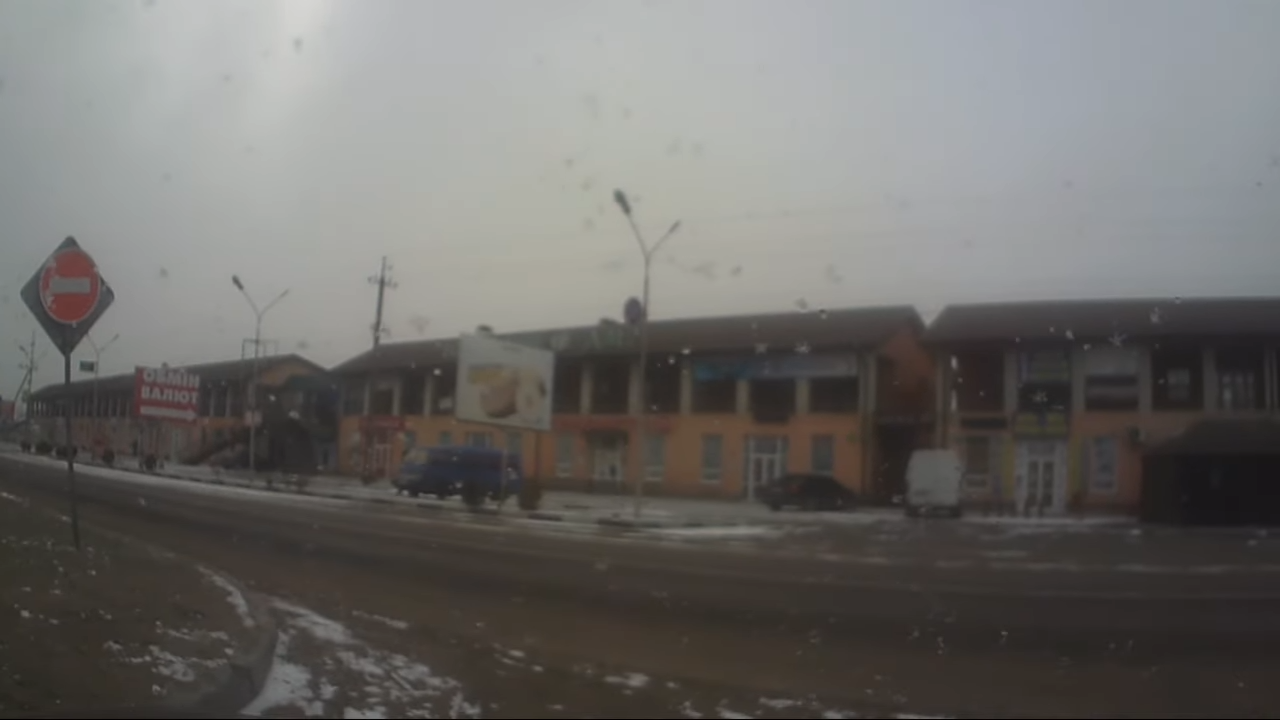
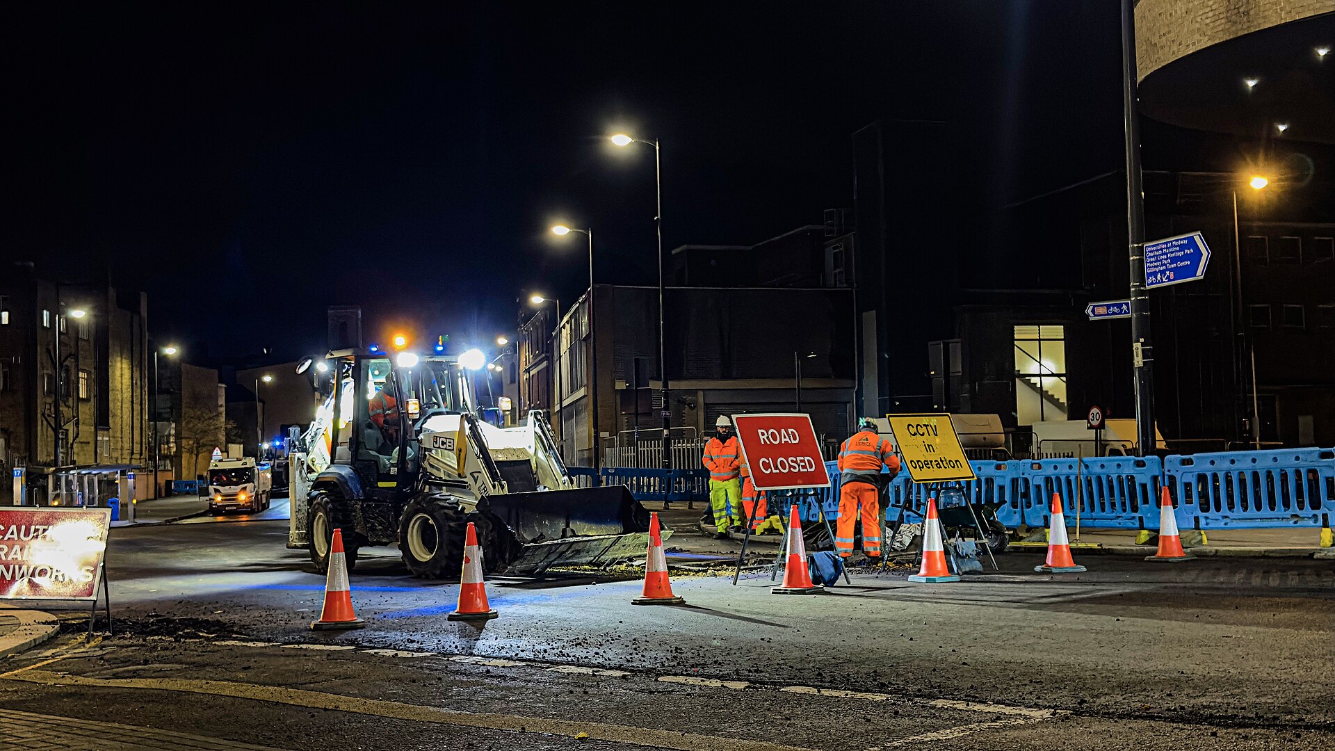
Verisk CargoNet logged 1,120 cargo theft incidents in the first five months of 2026, totaling more than $121 million in estimated losses. California, Texas, and New Jersey accounted for more than half of all theft activity in the first quarter. Theft concentrates around warehouse and distribution centers, truck stops, and other high-traffic logistics environments.
"We all know cargo theft has been increasing for years and is at all-time highs," Oliver said. "This impacts shippers, brokers, carriers, drivers and, of course, consumers. At Trucker Path we aim to provide as much current and actionable information in our app as we can to help our 1.2 million users complete their trips as safely and profitably as possible."
Oliver said both fleet customers and independent drivers requested cargo theft information and zones to watch.
What the integration gives drivers
The Trucker Path integration shows theft risk ratings by county, monthly stolen vehicle totals, commonly targeted commodity categories, and theft subtypes (cargo-only thefts, full truck thefts, and trailer thefts). Drivers can filter the map by low-, medium-, and high-risk areas before they commit to a route or a parking spot.
Ryan Shepherd, general manager of Verisk CargoNet, said cargo theft intelligence helps transportation companies understand where theft risk exists.
"Cargo theft insights can help transportation companies reduce exposure to theft and improve safety for drivers," Shepherd said. "Theft risk is increasingly tied to specific locations and operational environments, particularly in high-density logistics regions and common stop points along freight routes. Integrating this data directly into navigation tools helps close a critical visibility gap for drivers and fleet operators."
What this means for your next load
Cargo theft has traditionally been a security problem addressed after a shipment is already gone. Drivers relied on experience, company policies, and dispatch instructions when deciding where to stop, park, or route freight. Integrating cargo theft intelligence directly into a navigation platform gives drivers another source of information before they enter areas where theft activity has been reported.
This is not a replacement for strong carrier vetting, secure parking, shipment visibility, or established security procedures. It is another layer of situational awareness that can support better operational decisions. Oliver said Trucker Path plans to continue expanding the information available through the platform.
"Trucker Path will continue to work with CargoNet and all of our data partners to provide our users with the best and most actionable data we can," Oliver said. "It's hard to predict what that data will look like in the future, but I can assure you that we will do our best to continue to be on the cutting edge of providing reliable, actionable data to our users."
If you run California, Texas, or New Jersey regularly, open Trucker Path and filter the map by high-risk zones before you pick your next overnight stop. The feature is live now and costs nothing beyond the free app download.